TERRA INFIRMA INSTALLATION
Materials: Digital inkjet mounted prints, projected single channel video, web-camera, and live streaming video.
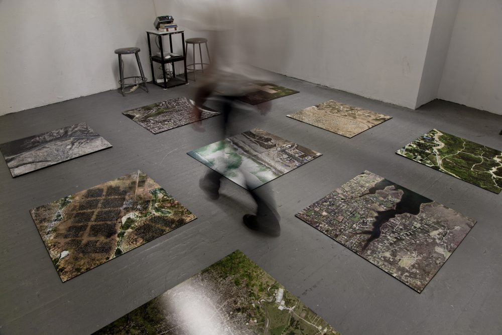
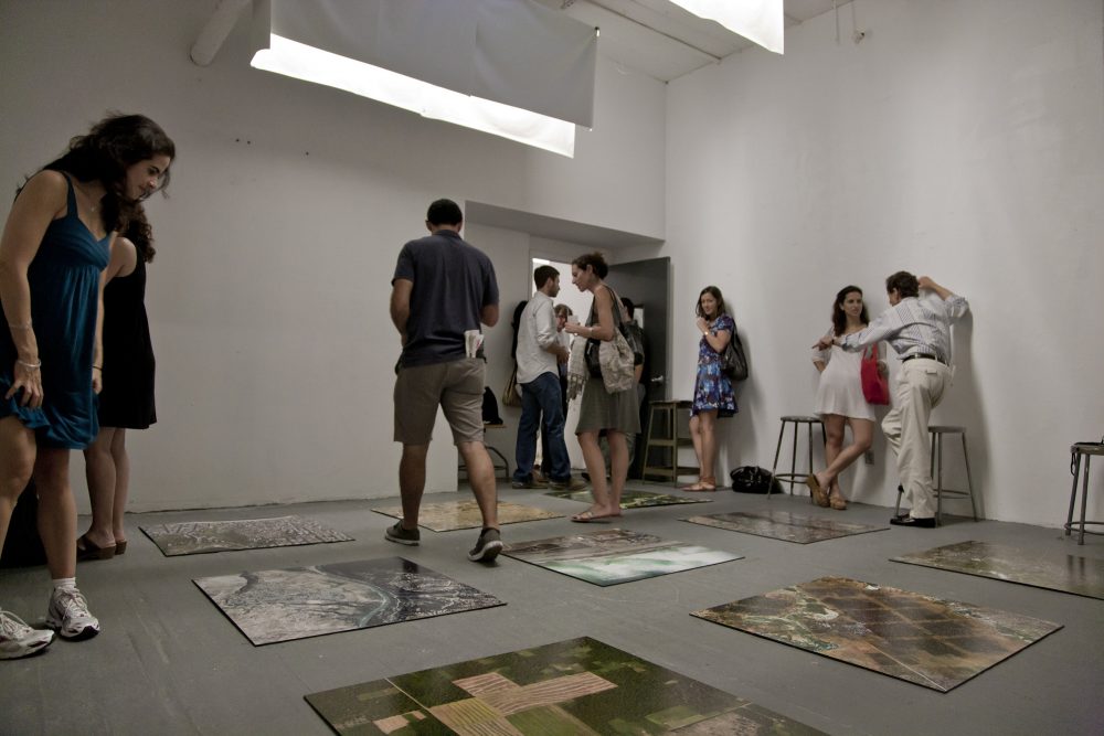
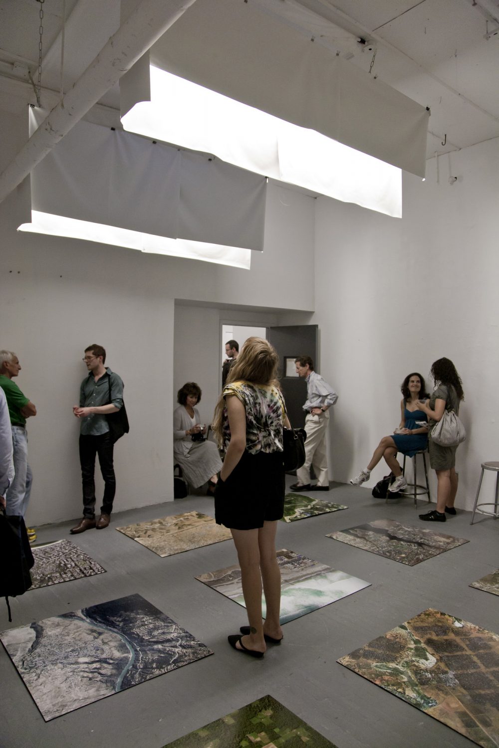
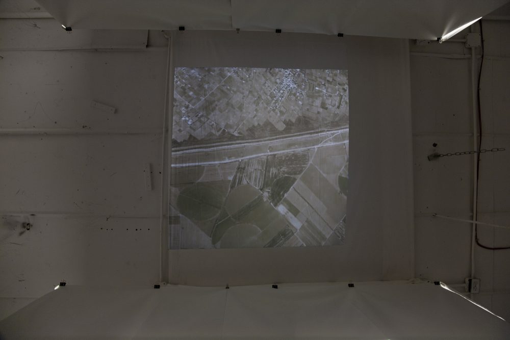
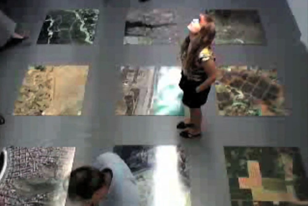
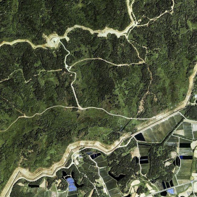
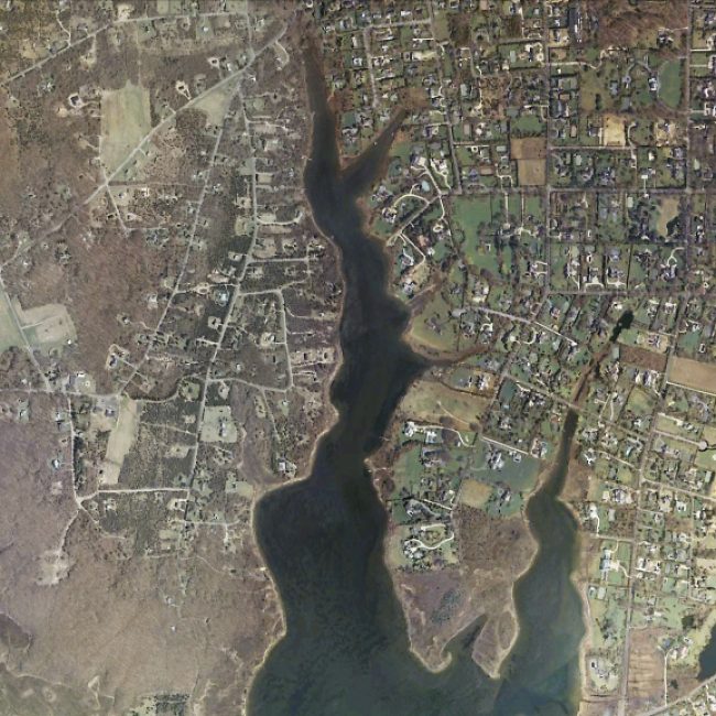
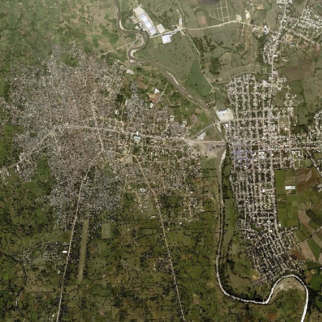
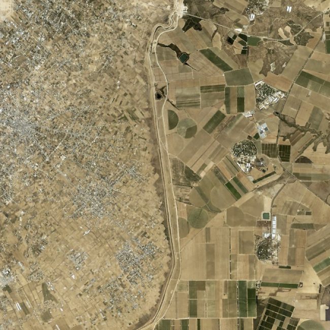
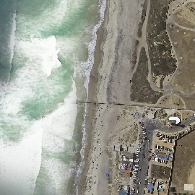
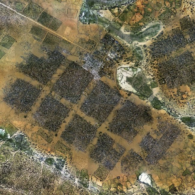
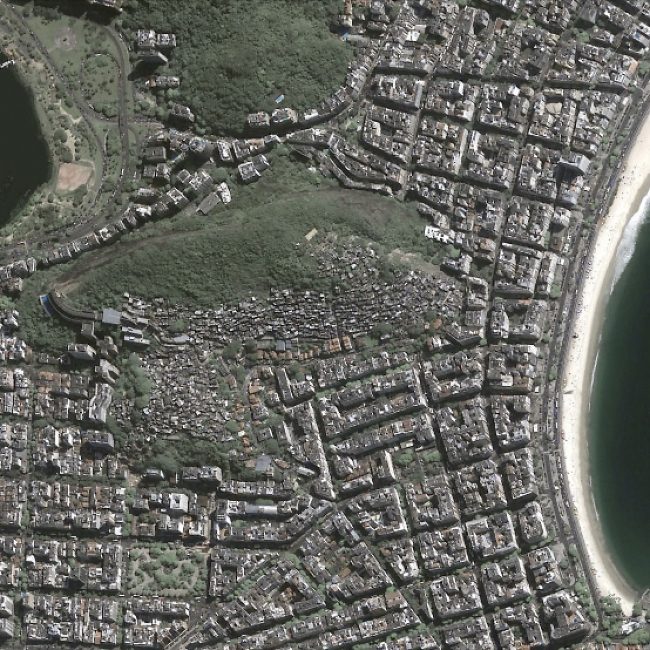
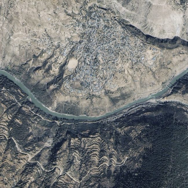
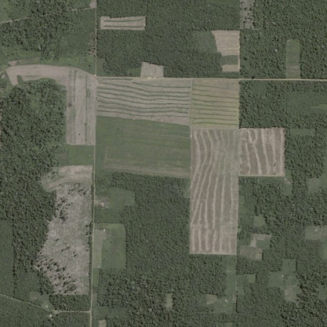
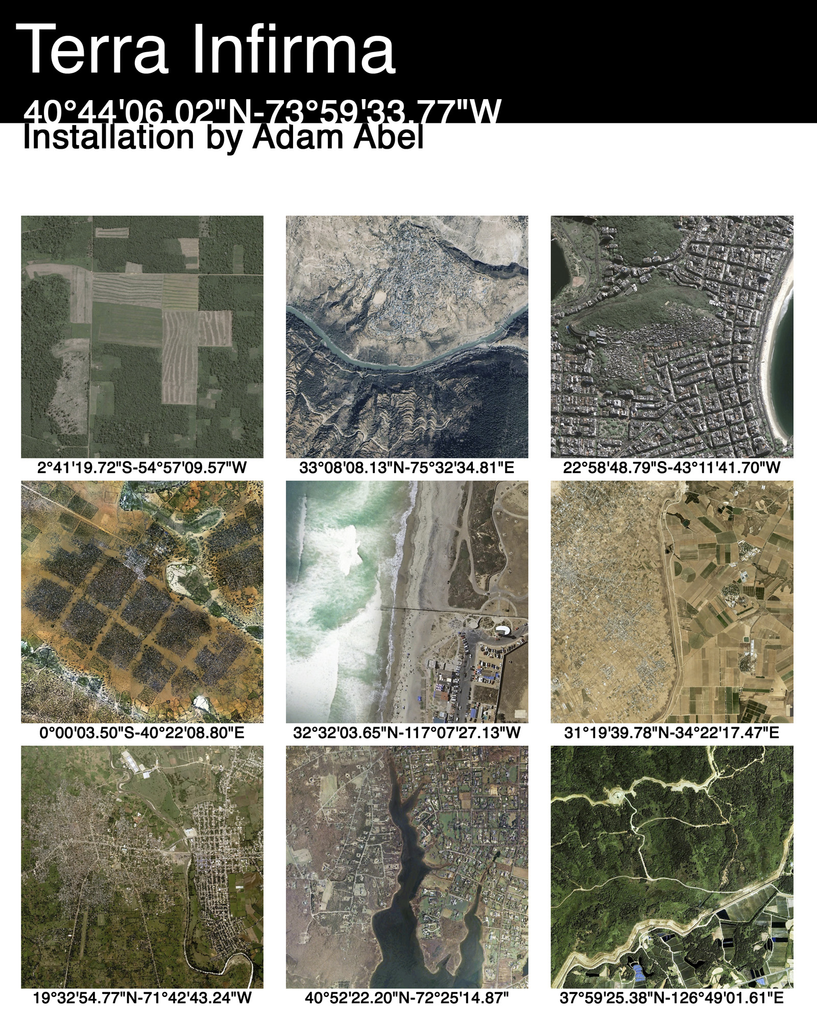
Nine 36×36” prints are displayed on the floor, each documenting a division of land and/or people taken directly from an actual location on Google Earth. From a distance they appear sharp, but when up close, the images are broken up into a mosaic of tiny square pixels. In the video (36×36” projection on the ceiling) the viewer travels to each of the locations represented on the floor. Meanwhile, a camera records the room, live streaming the activity during the exhibit.
Terra Infirma represents boundaries as political interventions and examines the human territorialization and occupation of land.
IMAGES
The title of each piece, including the installation itself, is the exact longitude and latitude of their location. This text precisely identifies each site as singular while at the same time unifies them through a language of abstraction.
The catalogue for this installation, available in the form of a handout, allows the viewer to discover more about these places on their own, extending this work beyond its own boundaries.
SINGLE CHANNEL VIDEO
The content of the video is a documentation of ten locations I catpured on Google Earth. There are the nine locations represented on the floor, all of which are in the video. The remaining site is the building which is where this installation was on display. Thus the title: Terra Infirma:40°44’06.02″N-73°59’33.77″W.
In the video, the viewer travels from one boundary, or terra infirma, to the next. The video zooms so close to the ground that we are left to see only pixels, like the shapes of the pictures on the floor and this video itself. When the video zooms out again, the location has changed to one of the other sites, as if we have traveled through the earth to these connected places.
SURVEILLANCE VIDEO
This video is a short clip from the original recording, which contains 2 hours and 45 minutes of footage.
In the corner of the installation near the ceiling was a surveillance camera recording the space live during the opening of the show. I adjusted the quality of the video so that there was some pixelation occuring. The shape of the square is a common thread through all the pieces in the work. The idea is to represent the digitization of everything around us, including people, into a system of precise measurement. A computer was set up in another area outside this space and I broadcasted the streaming video live. Therefore you could be outside of the space and watch people in real time moving through the installation.
UNTITLED MOTION SENSOR WORK
Interested in the physical relationship between the viewer and the work, and how this could be representative our own understanding of people and places around the world, I began experimenting with motion sensors. The following piece represents a culimination of experiments I made while working on the installation shown above.
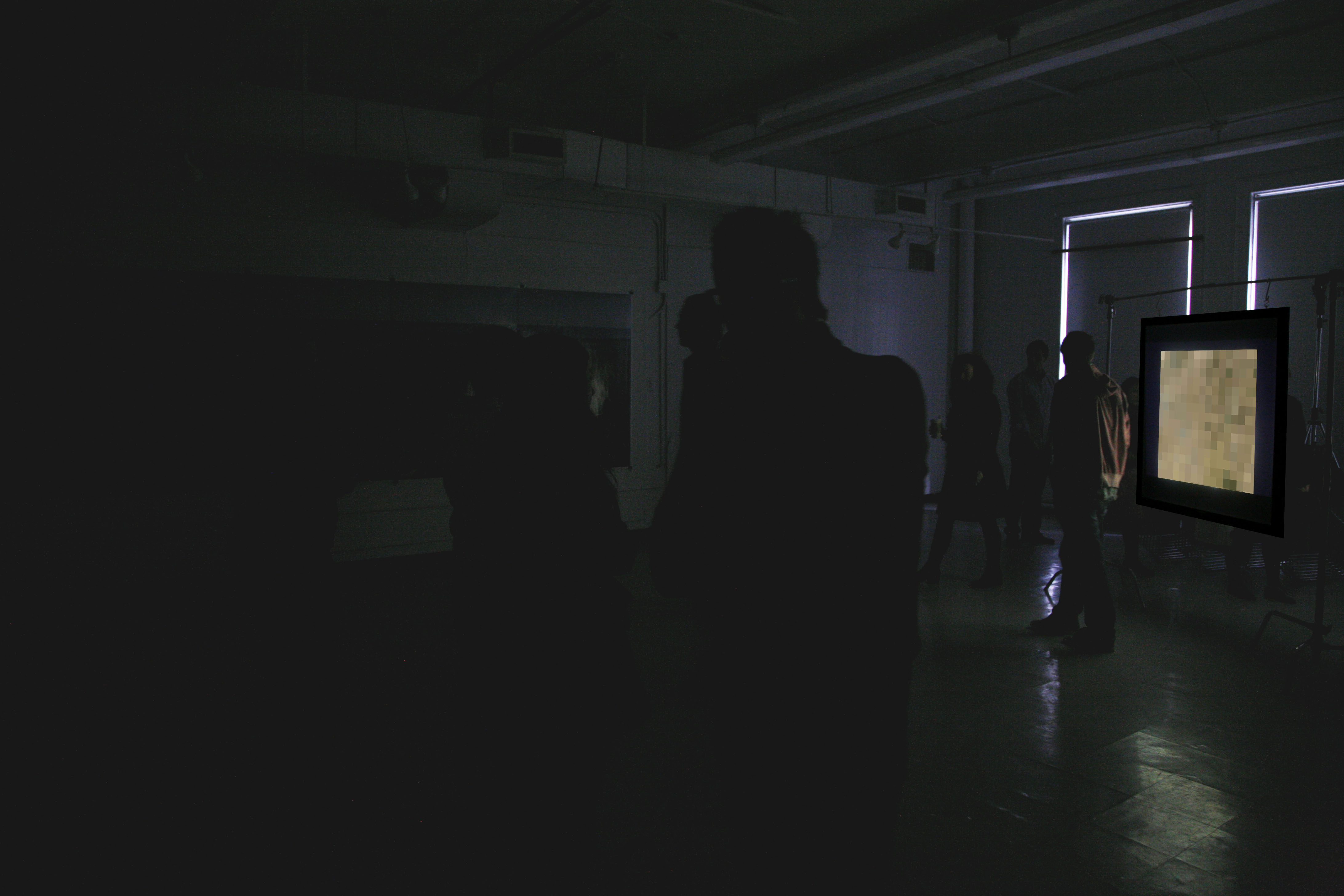
Here viewers entered a dark room with a single image projected at 36×36″ on a screen. Although clear, the image is too far away to understand. But the closer someone moves towards the image, it begins to degrade into pixels. The further back someone moves, the image becomes less pixelated again.
The five square images shown here demonstrate how this pixelation effect works.

